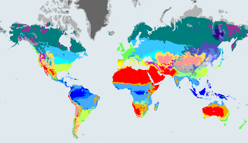
The climate of Zhumadian
Cwa Humid subtropical with dry winter. Hot, wet summers and dry, mild winters. A monsoon-influenced subtropical climate. Most of the rain falls in the hot summer, and winters are noticeably drier.
Zhumadian is north of the equator, so summer falls in June to August and winter in December to February. The 1901 to 1930 map puts Zhumadian in the same zone, Cwa.
Zhumadian: then, now and by 2100
| Map | Climate zone | Compared with now |
|---|---|---|
| 1901 to 1930 | Cwa Humid subtropical with dry winter | Same as now |
| 1991 to 2020 (now) | Cwa Humid subtropical with dry winter | - |
| 2071 to 2099, SSP1-2.6 (low emissions) | Cfa Humid subtropical | Different from now |
| 2071 to 2099, SSP2-4.5 (middle of the road) | Cfa Humid subtropical | Different from now |
| 2071 to 2099, SSP5-8.5 (high emissions) | Cfa Humid subtropical | Different from now |
The 2071 to 2099 rows are model projections under three emissions scenarios, not forecasts. The 1901 to 1930 row is a reconstruction. All come from Beck et al. (2023).
Under the middle-of-the-road scenario (SSP2-4.5), the model puts Zhumadian in Cfa (humid subtropical) in 2071 to 2099, instead of Cwa now. Under the high-emissions scenario (SSP5-8.5) it is Cfa (humid subtropical).
Cities with the same climate as Zhumadian
Other big cities that are Cwa (humid subtropical with dry winter) in 1991 to 2020, at most two per country:
- Chengdu, China
- Guangzhou, China
- Dhaka, Bangladesh
- Hanoi, Vietnam
- Hong Kong, Hong Kong
- New Territories, Hong Kong
- Rawalpindi, Pakistan
- Busan, South Korea
Where Zhumadian's future climate exists today
In the SSP2-4.5 map for 2071 to 2099, Zhumadian is Cfa. These cities are Cfa in 1991 to 2020, so they give a rough idea of the future climate (the real conditions would differ in many ways).
- São Paulo, Brazil
- Tokyo, Japan
- New York City, United States
- Taipei, Taiwan
- Sydney, Australia
- New Taipei City, Taiwan
- Yokohama, Japan
- Durban, South Africa
More
Population of Zhumadian from GeoNames: 721,670 (rank 805 in our list of 1,000). Climate data: Beck et al. (2023), CC BY 4.0. Data sources and licences.